 +91 9799050299
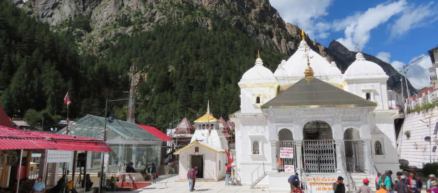
Gangotri Geographical Facts
Gangotri is a part of the greater Himalayan ranges of the Garhwal Himalayas. The entire region is made out of undulating hilly tracts that are extremely steep and difficult to approach on one hand and on the other hand there are lush green meadows dotted with colorful high altitude Himalayan plants. There are also areas where there is nothing but wide expansive lands and you will also be able to gaze at the far away snow clad Himalayan peaks. The gushing river which makes its way through the entire Gangotri valley adds a lot of beauty and charm to this entire region. The entire relief of Gangotri is extremely appealing and inviting to every nature and adventure lover. Gangotri, a sacred pilgrimage spot for all pious Hindus has a latitudinal & longitudinal extent of 30.98 degree North 78.93 East. The town falls in Uttarakhand’s Uttarkashi district and has been set up on River Bhagirathi’s banks. Gangotri town is positioned at an altitude of 10,200 ft above the sea level on Greater Himalayan mountain ranges. Gangotri is considered as the birthplace of River Ganges but the true geographical source of River Ganga is the Gaumukh glacier lying 21 kms away from Gangotri, towards the South-east direction.
