

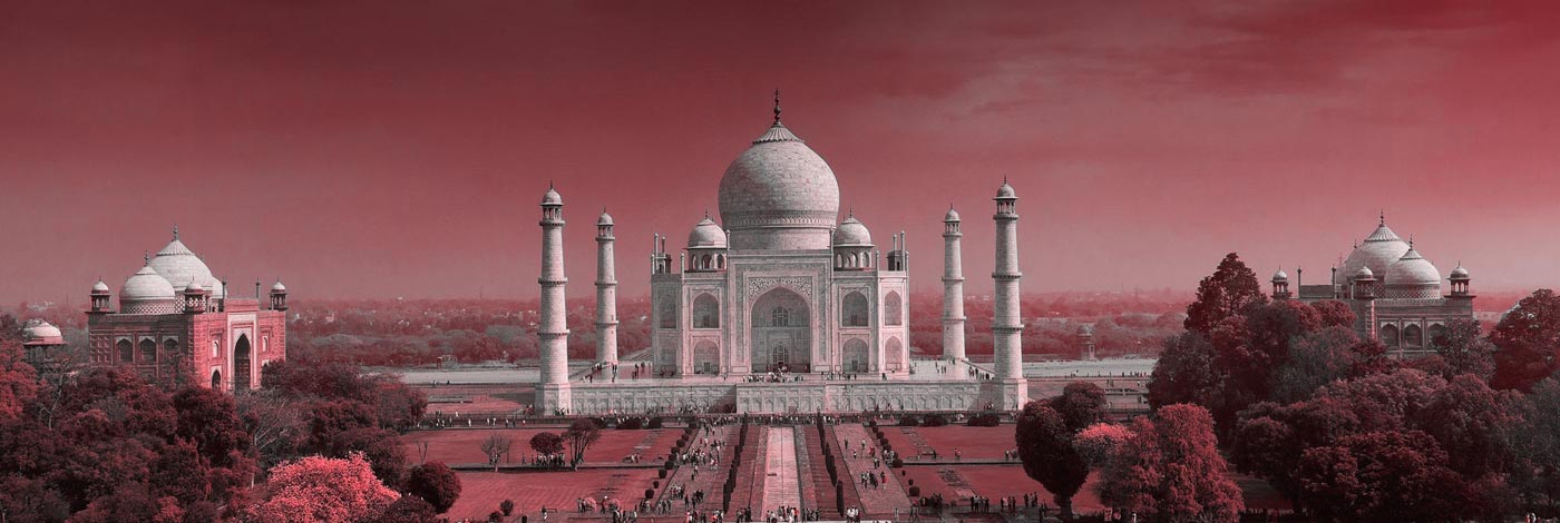
Tourist Map of Agra The old city of Agra, as per map of Agra, is located on the banks of the Yamuna River in Uttar Pradesh and is also counted amongst the most populous cities of the state. Primarily known for being the land of The Taj Mahal, Agra is visited by lakhs of tourists each year and also finds its mention in the old Indian epic the Ramayana. One of the 75 districts of Uttar Pradesh, this historical city stands at an elevation of 171 metres above sea level. According to Agra map, in the north, the city is neighboured by Mathura district, in south it is bounded with Dholpur District (Rajasthan), Firozabad lies in the east while Bharatpur (Rajasthan) bounds it in the west. The total area covered by the Agra district is 4027 sq km. As per official data, the population of the district consists of 88.77% Hindus and 9.30% Muslims and because the city was ruled by Mughals once, there is a lot of influence in the architecture and food here. The Agra tourist map comprises several Mughal era buildings, Hindu temples and royal gardens. Apart from the Taj Mahal, the destination also has Agra Fort, Mankameshwar Temple, Paliwal Park and Fatehpur Sikri, among others.
