Agra Temperature has a semi-arid type of climate with hot and dry summers, a wet monsoon, and chilly winters. The climate borders on the humid subtropical type with extreme variations between summer and winter temperatures. Agra lies in the Indo-Gangetic Plains, on the banks of the Yamuna River in the northern part of India.
The monsoon and extratropical storms from the Mediterranean region that cause western disturbances mainly influence the climate in the region.
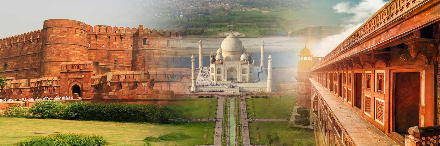
The historic city of Agra has an average elevation of 171 meters above sea level with a chiefly flat topography. The monumental Taj Mahal casts its bright shadow in the waters of the Yamuna, which is the primary water source of the city. The extreme southwest of the city is hilly, and fine-grained sandstones are a feature of the region. The entire region is a combination of fertile alluvial lands, stretches of sandy and clayey soils, rivers, and ravines.
Agra summers are scorching with day temperatures in the 37.8°C (100°F) to 46.1°C (115°F) zone. The southwest monsoon brings moderate rainfall from June to September. Spring is warm to hot and lasts from March to April. Autumn is short and warm initially but pleasant in its last days. Winter temperatures occasionally drop to a chilly 1.7°C (35.1°F) although the average low is 7.8°C (46°F) during the peak of January. Continental air holds sway when the monsoon is inactive.
Agra receives abundant sunshine of 2670 hours annually. The sunrays are intense for the majority of the year except for the winter. The average humidity peaks during August in the rainy season at 77%, while it is at the lowest of 34% in May at the peak of the summer. The annual precipitation is a moderate 736.6mm (29") as the majority of the rainfall occurs between June and September.
The highest temperature on record for Agra is 48.6°C (119.5°F), while the record for the lowest temperature is -2.2°C (28°F).